Map
Map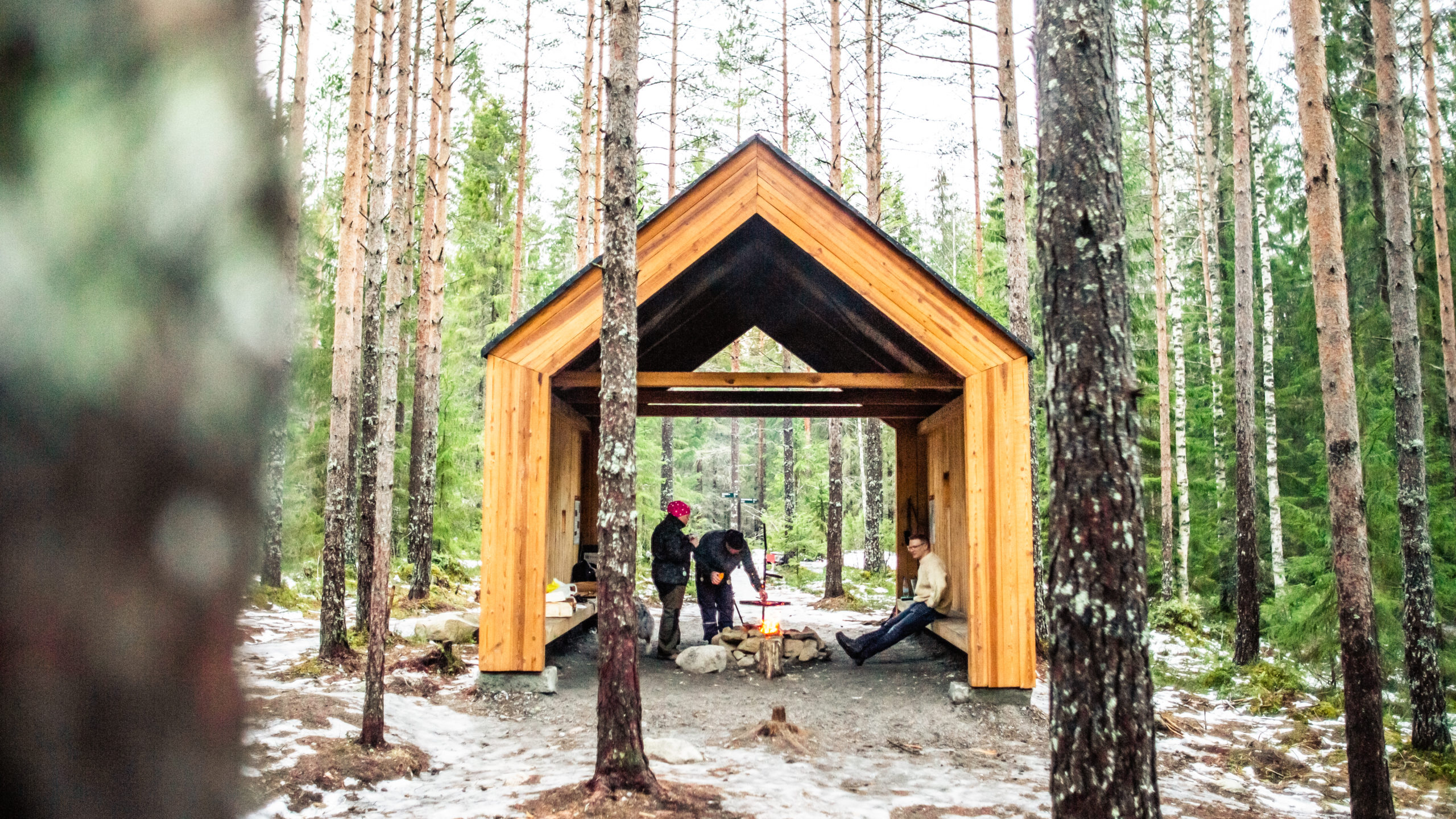
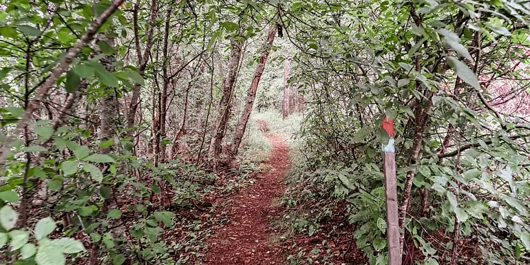
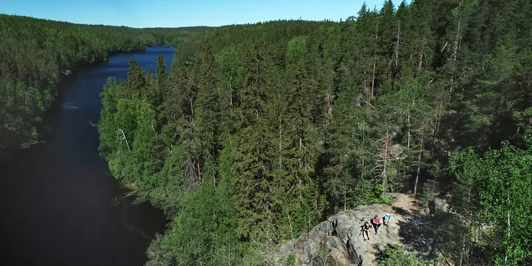
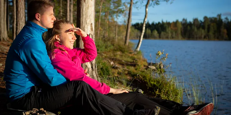
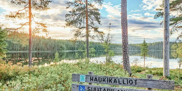
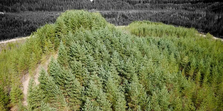
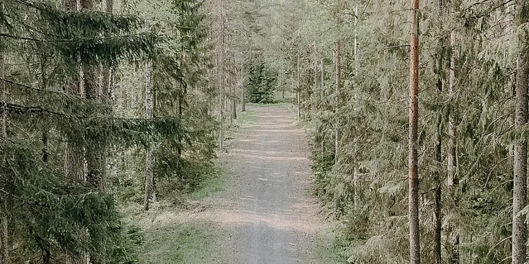
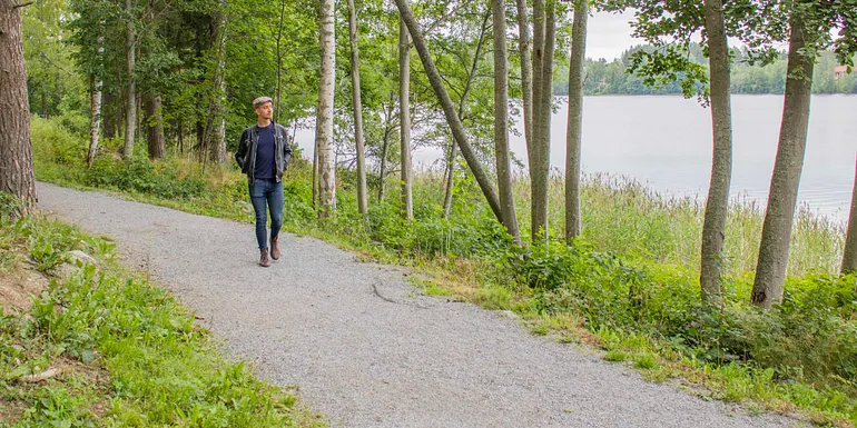
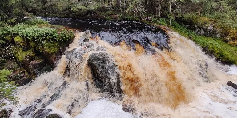
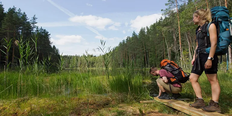
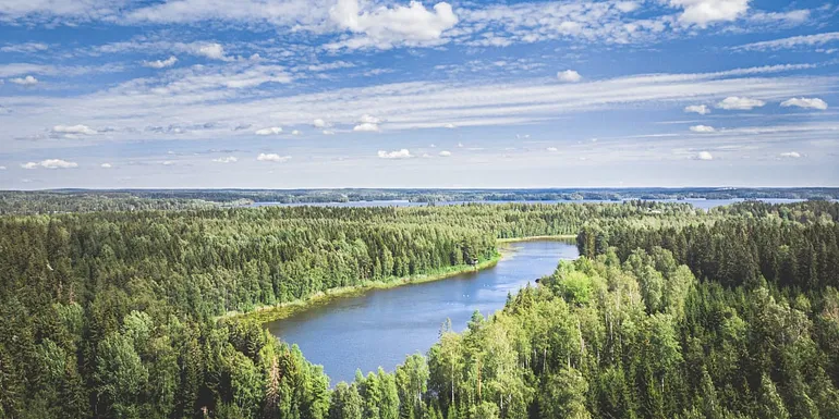
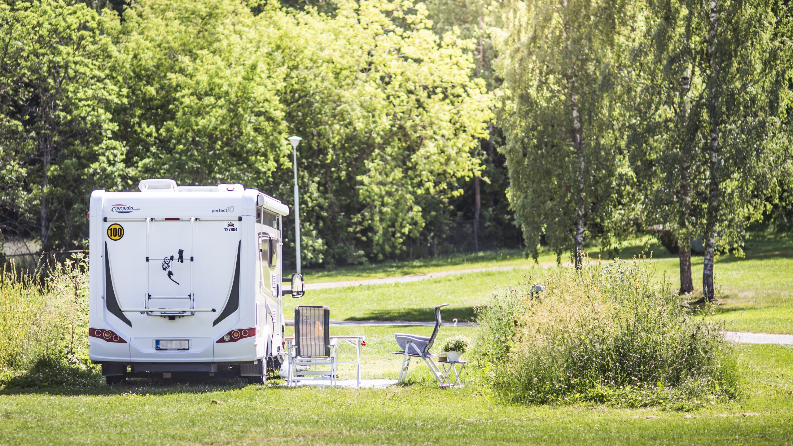
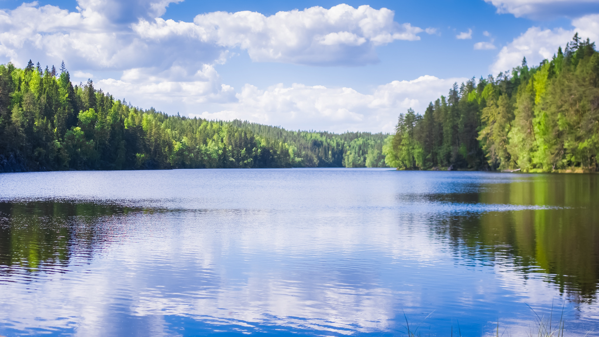
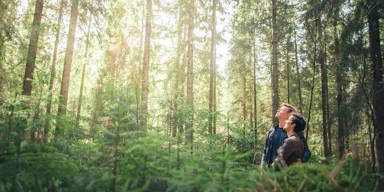
Hiking in Tampere Region’s nature trails
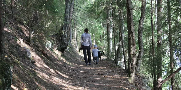
Tips for your hike
You can find more information and maps on the national parks on website Nationalparks.fi.
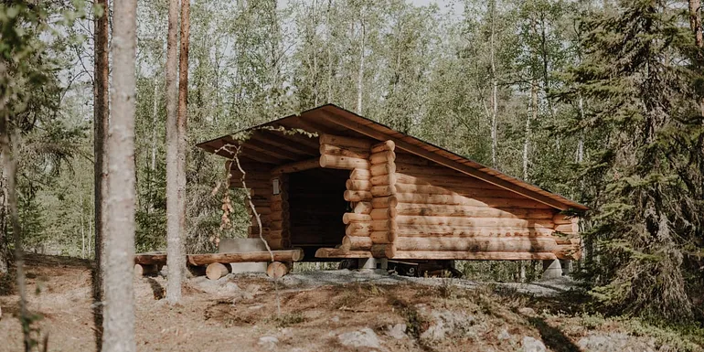
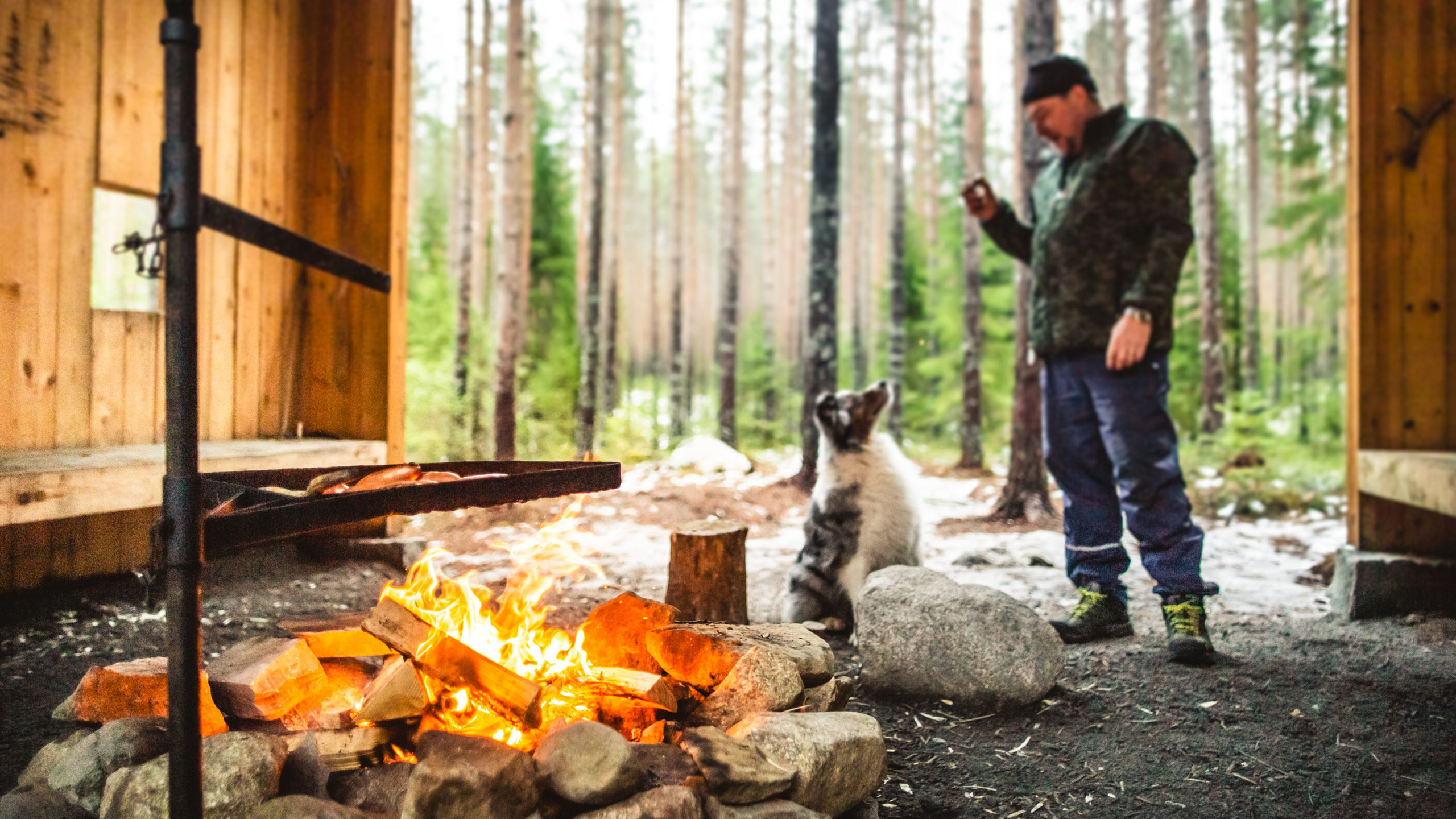
You can explore campfire sites at Tulikartta.fi website (in Finnish). Tulikartta.fi shows campfire sites, lean-to’s, tipi-like huts and much more places where you can have an open fire! Please note: if there’s a forest fire warning marked to be in effect in your area, it is forbidden to have an open fire or use the firepits. You can check the current warnings from the website of Finnish Meteorological.
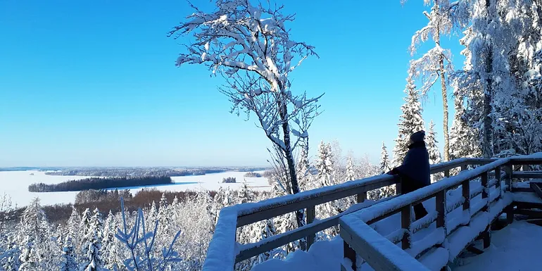
Accessibility: Tohloppi nature trail has a new accessible nature trail and Kintulammi Kirkkokivi shed is easily accessible. In Mänttä, at the top of Mäntänvuori, there is also an approximately 800-meter-long path for unobstructed access – Ilvestie. In Lempäälä, the Birgitta trail, there are unobstructed access to the Saarikonmäki shed in Hakkari and the Vähä-Kausjärvi shed. In Ylöjärvi, the Riuttaskorpi forest area provides unobstructed access to the Haukijärvi cooking shelter. The terrain of Helvetinjärvi national park is challenging due to its hilly nature. Unobstructed access is possible only in Haukanhieta and its vicinity. An assistant is recommended for wheelchair users. In Seitseminen national park, the Saari-Soljanen ring route has unobstructed terrain of 0.5 km and there is also an unobstructed dry toilet. Starting point is Saari-Soljanen’s cooking shelter. Read more on the Nationalparks.fi website about accessibility in nature sites.
Remember to respect nature while hiking! You can read the Everyman’s rights from natinalparks.fi website and you can read about litter-free hiking from the same website.
Experience and programme services that organize excursions can be found from our article.