Map
Map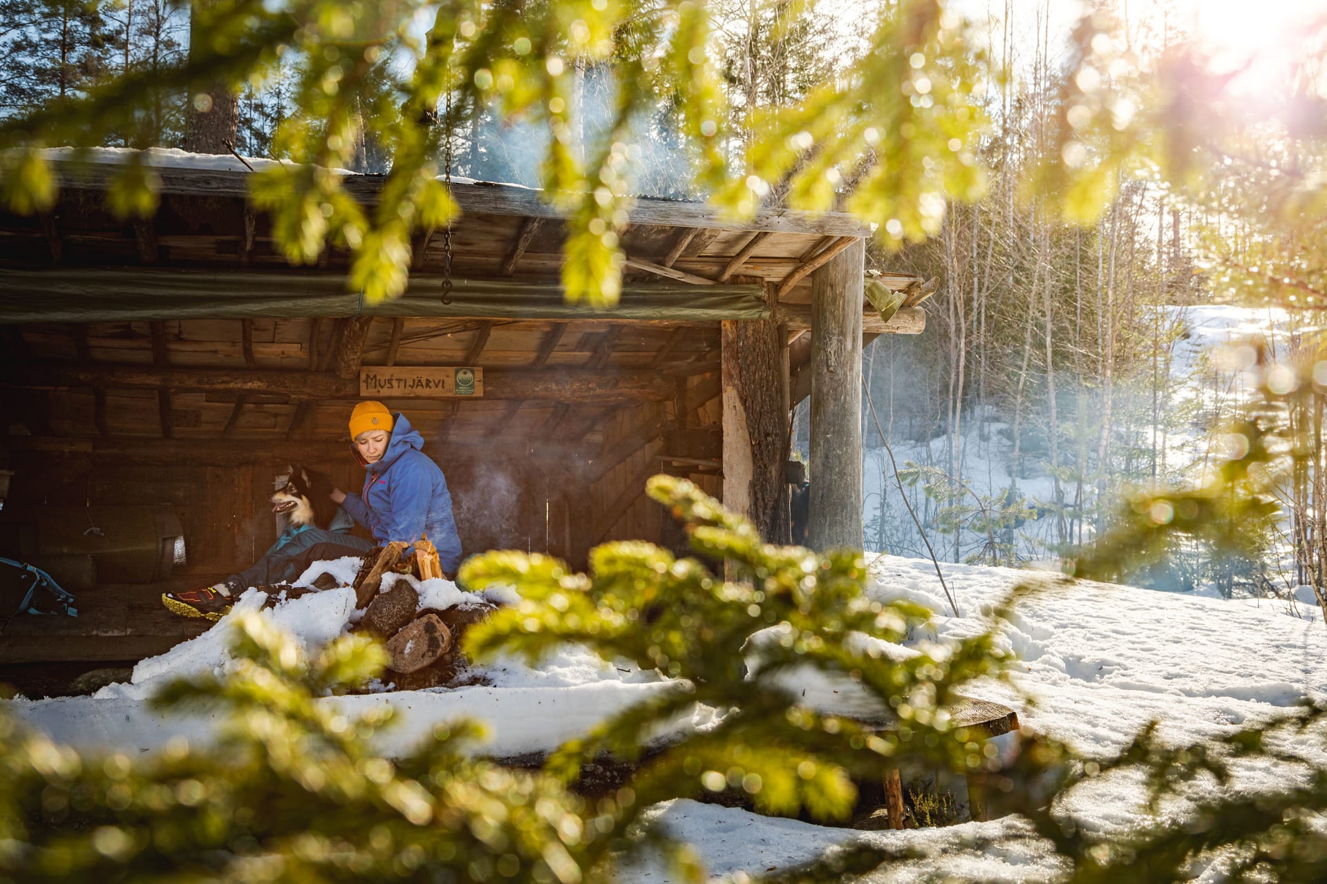
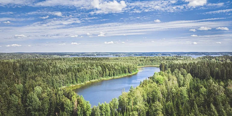
Kaarinanpolku is a popular hiking trail, approximately 60 kilometers long, where you can also hike shorter sections.
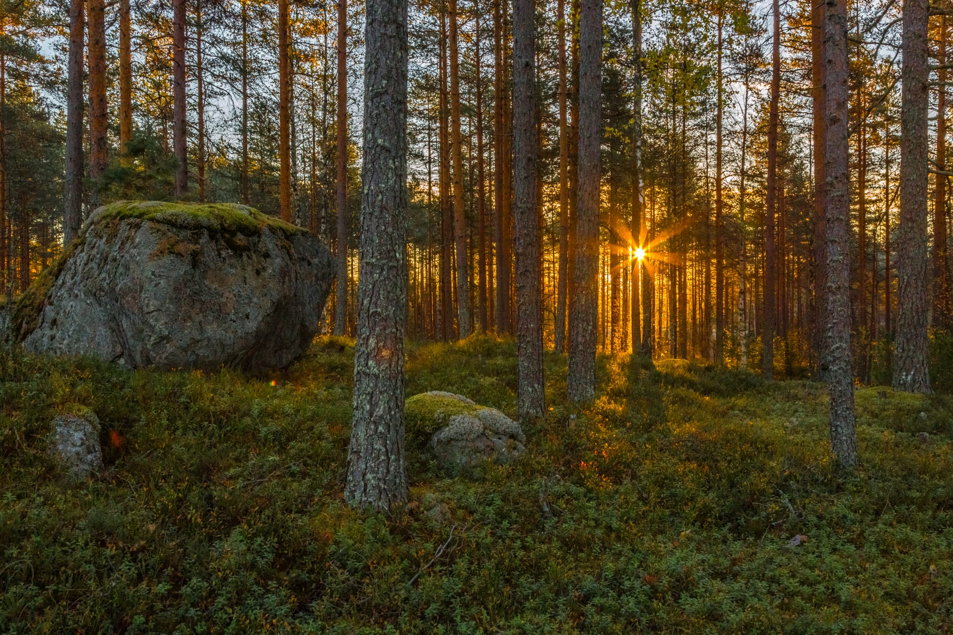
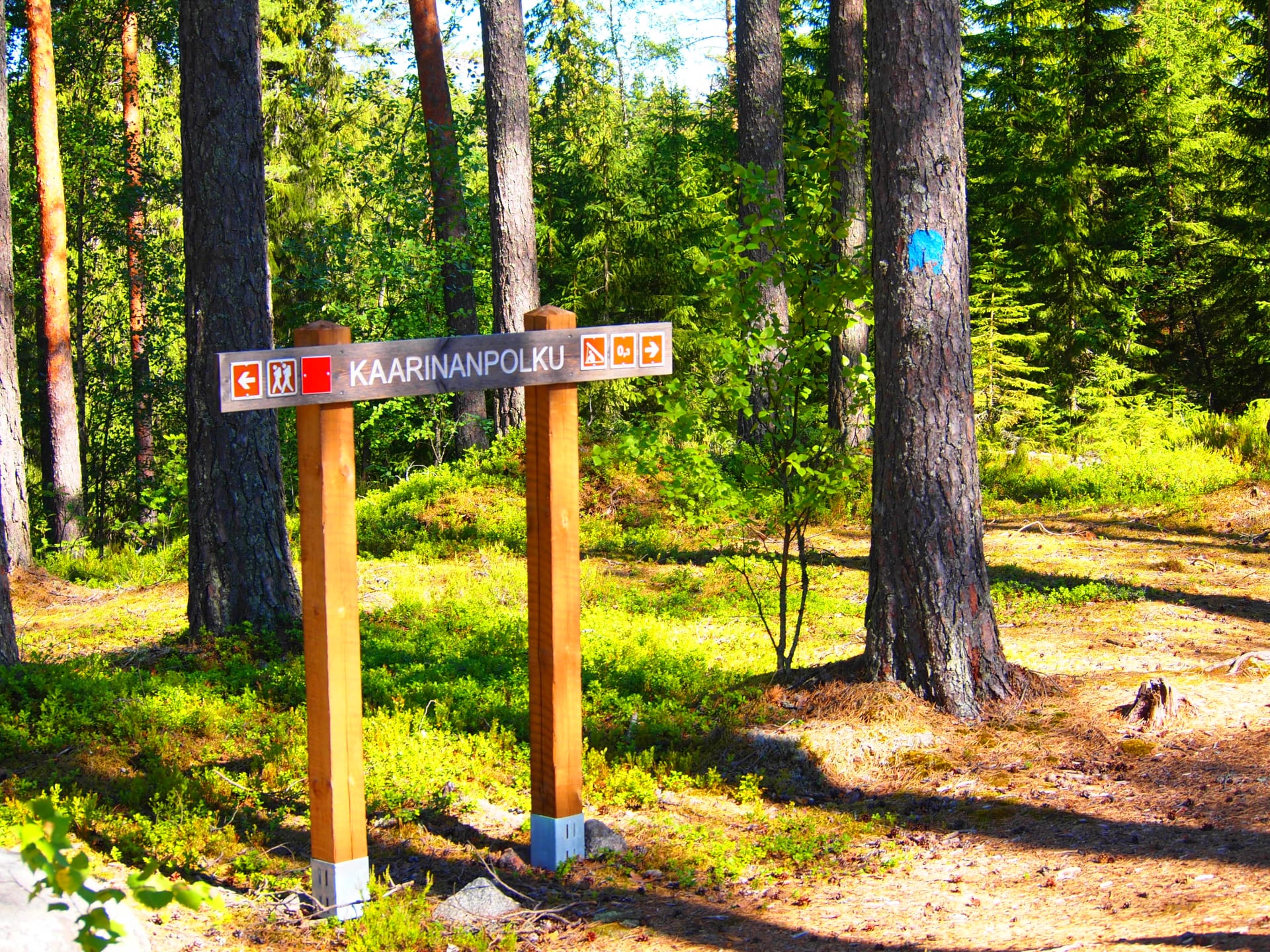
Kaarinanpolku offers diverse terrain for hiking. The southern part of the route passes through the Salmus Natura area and the unique landscape of Koukkurahka bog, while the northern part traverses valuable nature reserves with old-growth pine forests. In the central section, you’ll move through urban areas with nearby services. The trail is marked with blue signs and pointers, and it also connects to the exercise trails of Tampere and Kangasala.
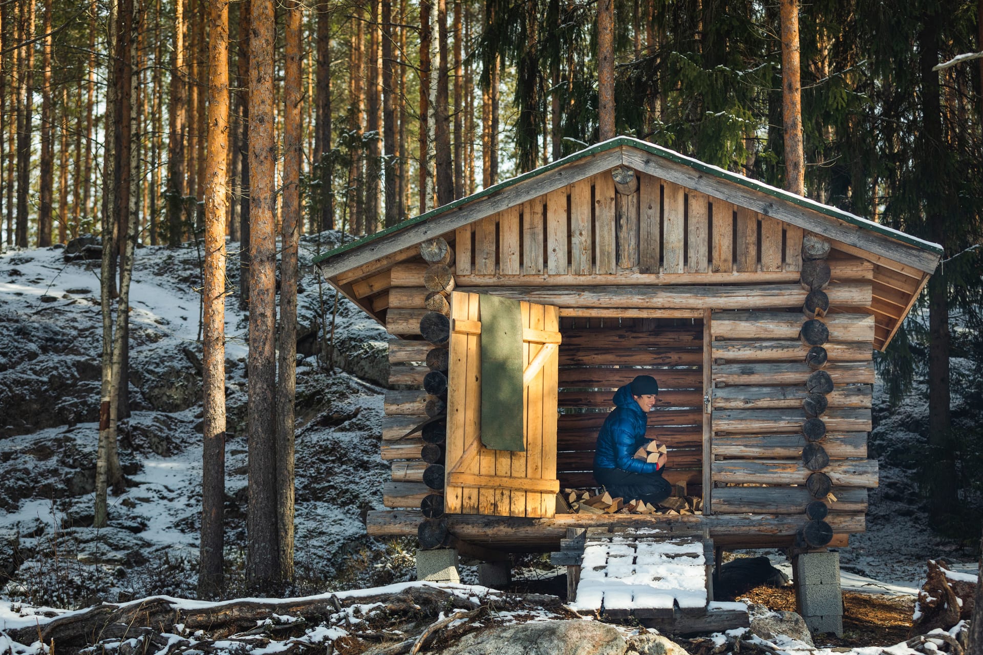
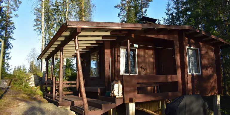
There are five lean-to shelters along the route: Katajajärvi lean-to shelter, Mustijärvi lean-to shelter, Personkolo lean-to shelter, Norojärvi lean-to shelter, and on the Lempäälä side, the endpoint of the route, Vähä-Riutan lean-to shelter. The last four are suitable for overnight stays. Vähä-Riutan lean-to shelter can accommodate up to 20 people and is suitable for winter camping.
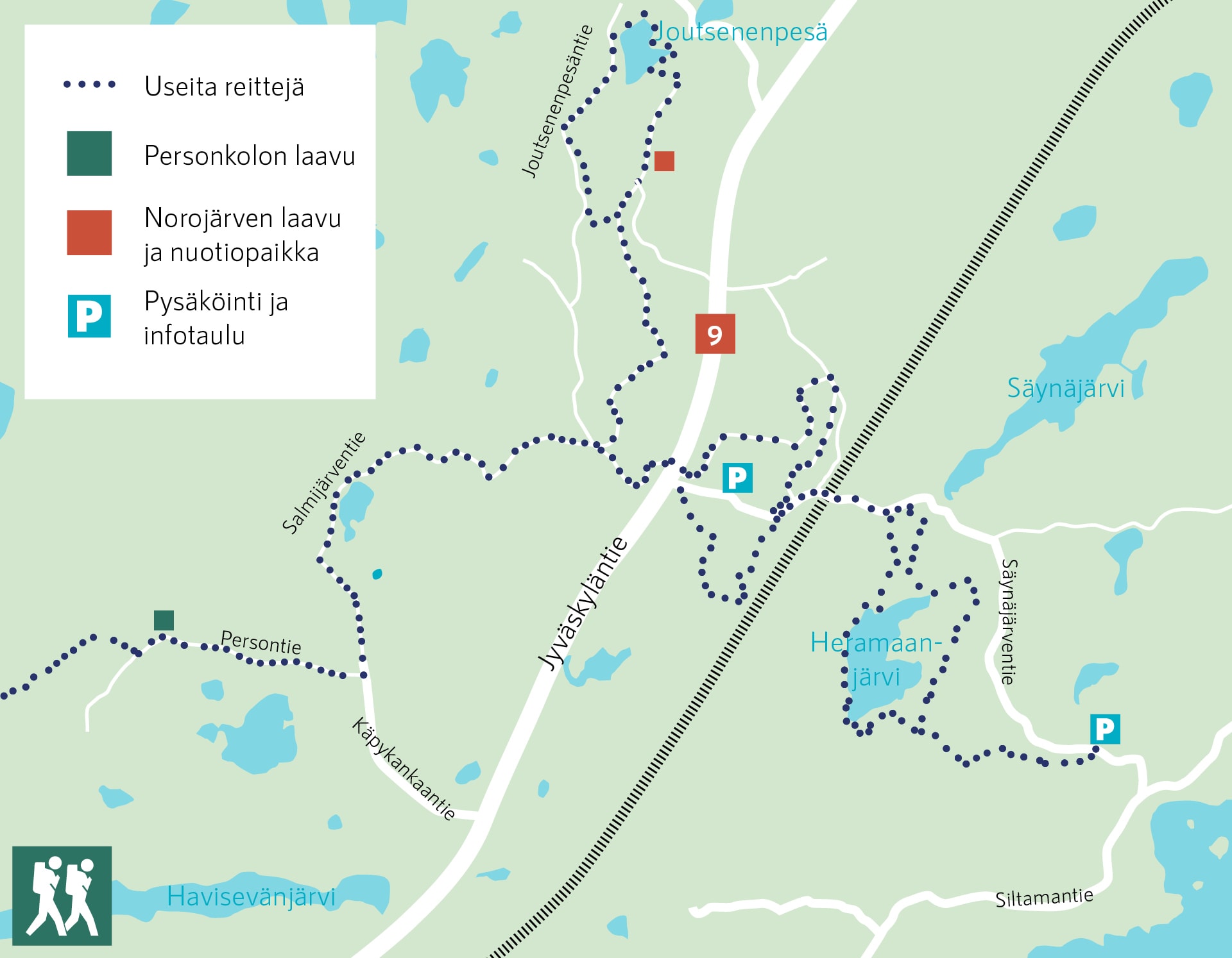
Joutsenenpesä Route
Route: approx. 8 km, from the parking area to Norojärvi lean-to shelter approx. 3 km
Difficulty: moderate
Starting point: Säynäjärventie (across Kaarinansilta bridge)
Other attractions: Norojärvi lean-to shelter with campfire sites and toilets, Personkolo lean-to shelter
The route circles Norojärvet and Joutsenenpesä Lake in beautiful pine forests. Norojärvi lean-to shelter, campfire site, and toilet are located on the shore of Norojärvi.
Pehkusuo and Puikkarinvuori Route
Route: 2–3 km
Difficulty: easy
Starting point: Säynäjärventie
The route winds through rocky pine forests with occasional short forest road sections. The approximately five-kilometer route consists of two shorter trails: Puikkarinvuori Trail (approx. 2 km) and Pehkusuo Trail (approx. 3 km). This pleasant short route is suitable for younger family members.
Heramaanjärvi Circuit
Route: approx. 4.5 km or 9 km
Difficulty: moderate
Starting point: Säynäjärventie, two starting points
Heramaanjärvi is a beautiful and rugged wilderness lake.